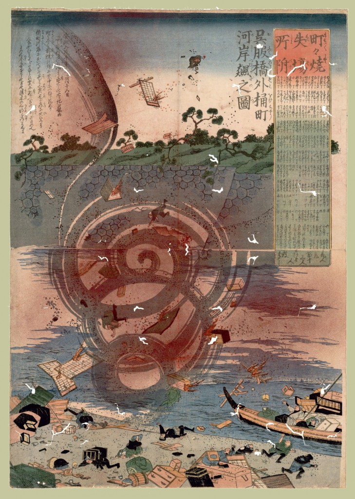
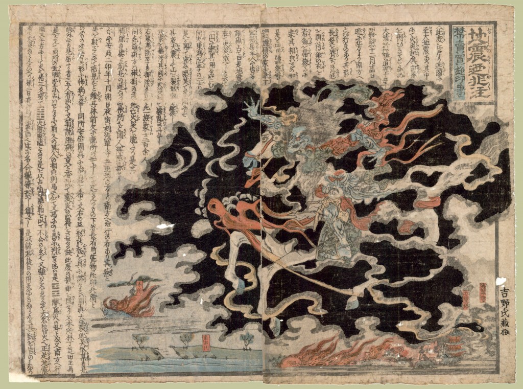
 Woodcuts by unknown authors from “Disaster Prints,” a part of the Japanese Maps of the Tokugawa Period digital collection.
UBC Library’s Rare Books and Special Collections holds one of the world’s largest collections of maps and guidebooks of the Japanese Tokugawa period, ca. 1600-1867. Most of this collection was acquired from George H. Beans, the original collector, and is accompanied by his inventory A List of Japanese Maps of the Tokugawa Era. To that has been added a small collection from George Bonn, as well as a number of maps acquired from various other sources. Much of this collection has been digitized and is available for online browsing and is in the process of being updated with higher-resolution images.


