Do you ever wonder what Vancouver was like just a few decades ago? What used to exist where you live or work? If you want information about Greater Vancouver, you can check out our Greater Vancouver Regional District Planning Department Land Use Maps Collection.
The collection has over 1,800 detailed maps—produced in 1965, 1980 and 1983—and covers Vancouver and several surrounding municipalities. You can explore maps of: North and West Vancouver, Vancouver, Burnaby, New Westminster, Richmond, Port Moody, Port Coquitlam, Coquitlam, Surrey, Delta, and even the Howe Sound and Bowen Island!
When looking through the maps, you’ll be able to see that symbols were used to indicate what individual lots were used for. In total, there are 64 zoning categories, which indicate whether lots were residential, commercial, industrial, mixed and more. The maps are used by urban planning and geography students at UBC, the local business community, and property development firms. The originals are held at UBC Library’s Maps & Atlas Collection, but you have access online through Open Collections.
If you want to start exploring the area, check the index to search specifically the map of your interest:
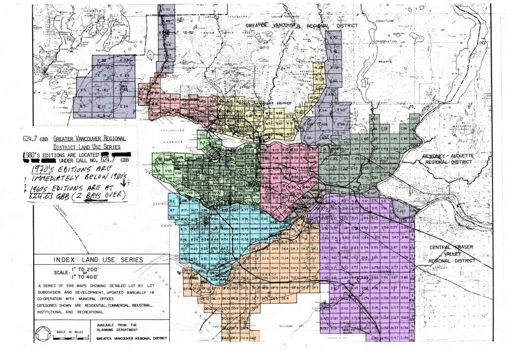
Index – Land use series
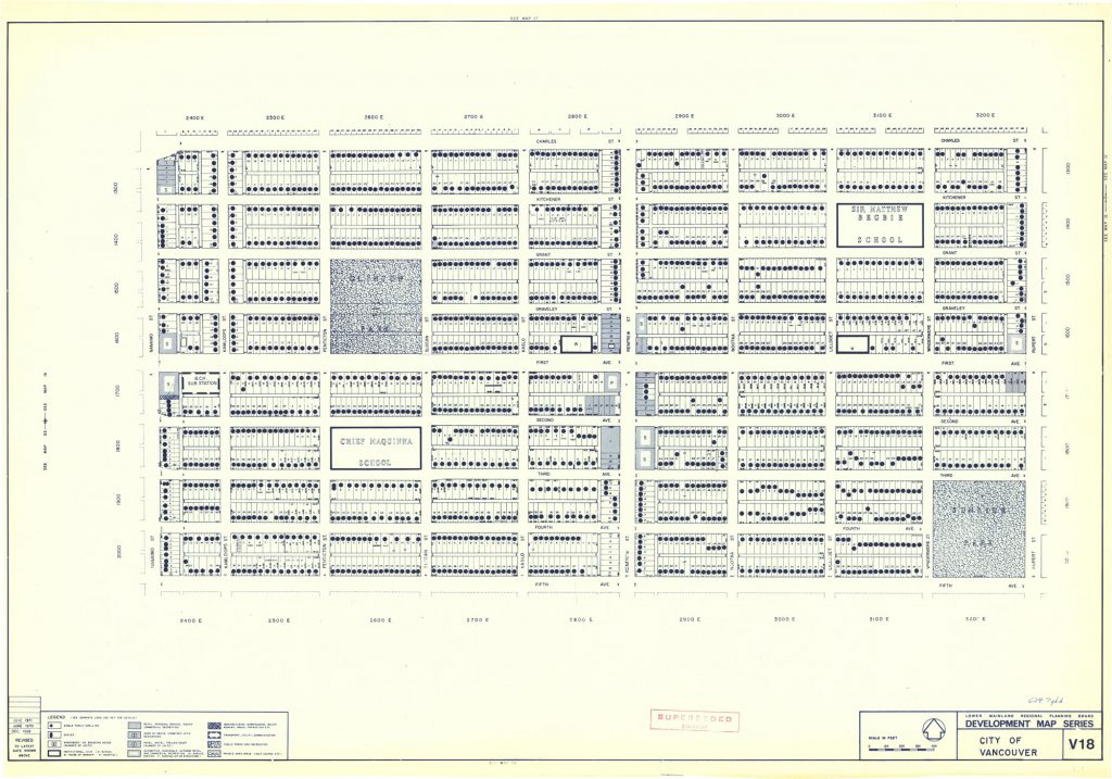
Development map series: city of Vancouver, 1971
Take a look at the map of False Creek. The Vancouver General Hospital remains, but can you see some changes that happened on the last 47 years?
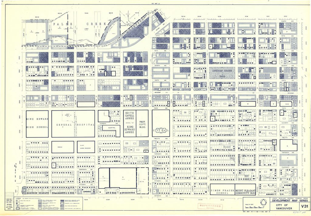
Development map series: city of Vancouver, 1971
Access the Greater Vancouver Maps Collection, try to find some places that you frequent today and see what they used to be!
