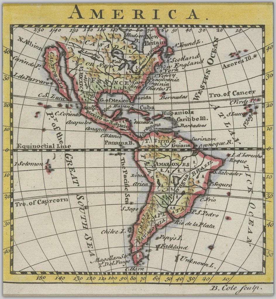
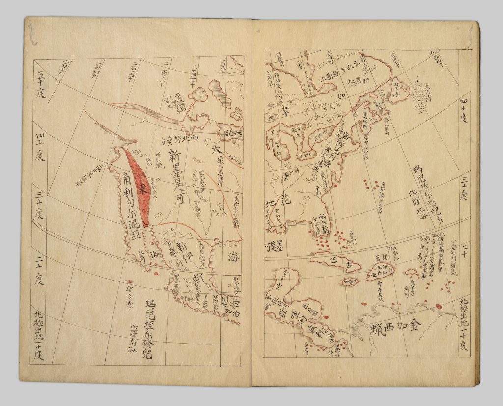
While browsing through the older maps in the Andrew McCormick Maps and Prints collection, or some of the maps of the Americas in the Japanese Maps of the Tokugawa Era collection, you may notice a couple of strange errors. The first of which is that California, through the late 17th and mid 18th centuries, was depicted as an island. The other happens around the same time period and it is that some maps display the Salish Sea as a great gulf which has been referred to West Sea, Sea of the West, or Mer de l’Ouest on French Maps. If you would like to learn more about these cartographic phenomena, Stanford has an article and entire collection on the Island of California. The Bibliothèque nationale de France also has an article on the Sea of the West. There is also a book titled The cartography of the northwest coast of America to the year 1800 pt. 1 & pt. 2.
What is very interesting is that some of the early maps have California as a clear peninsula, yet it later changes to an island, and then once there is clear information that it is a peninsula it is changed back, but it takes around one hundred years for the mistake to be born and then corrected. Where as the West Sea is rather short lived and seems quickly corrected.
Please note that many of these maps do not have a definitive date provided for their creation and have instead been estimated. Other sources may be able to produce a date that is more accurate that the one listed below.
Timeline of Maps:
Unknown Date: Americae sive novi orbis nova descriptio 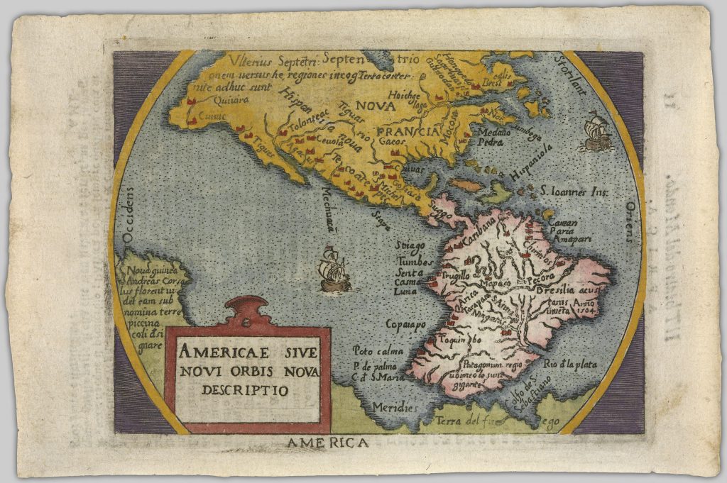
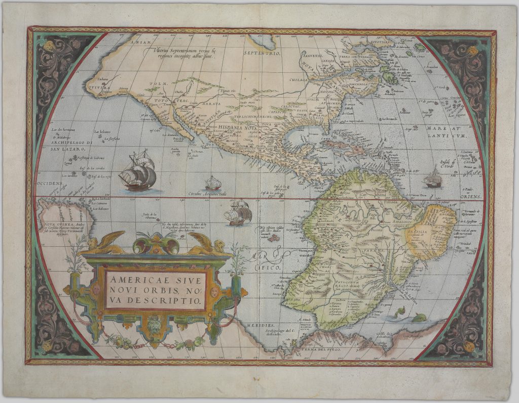
~1573: Americae sive novi orbis, nova descriptio
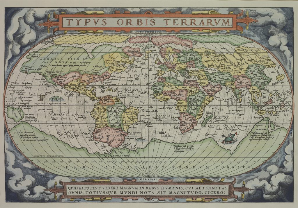
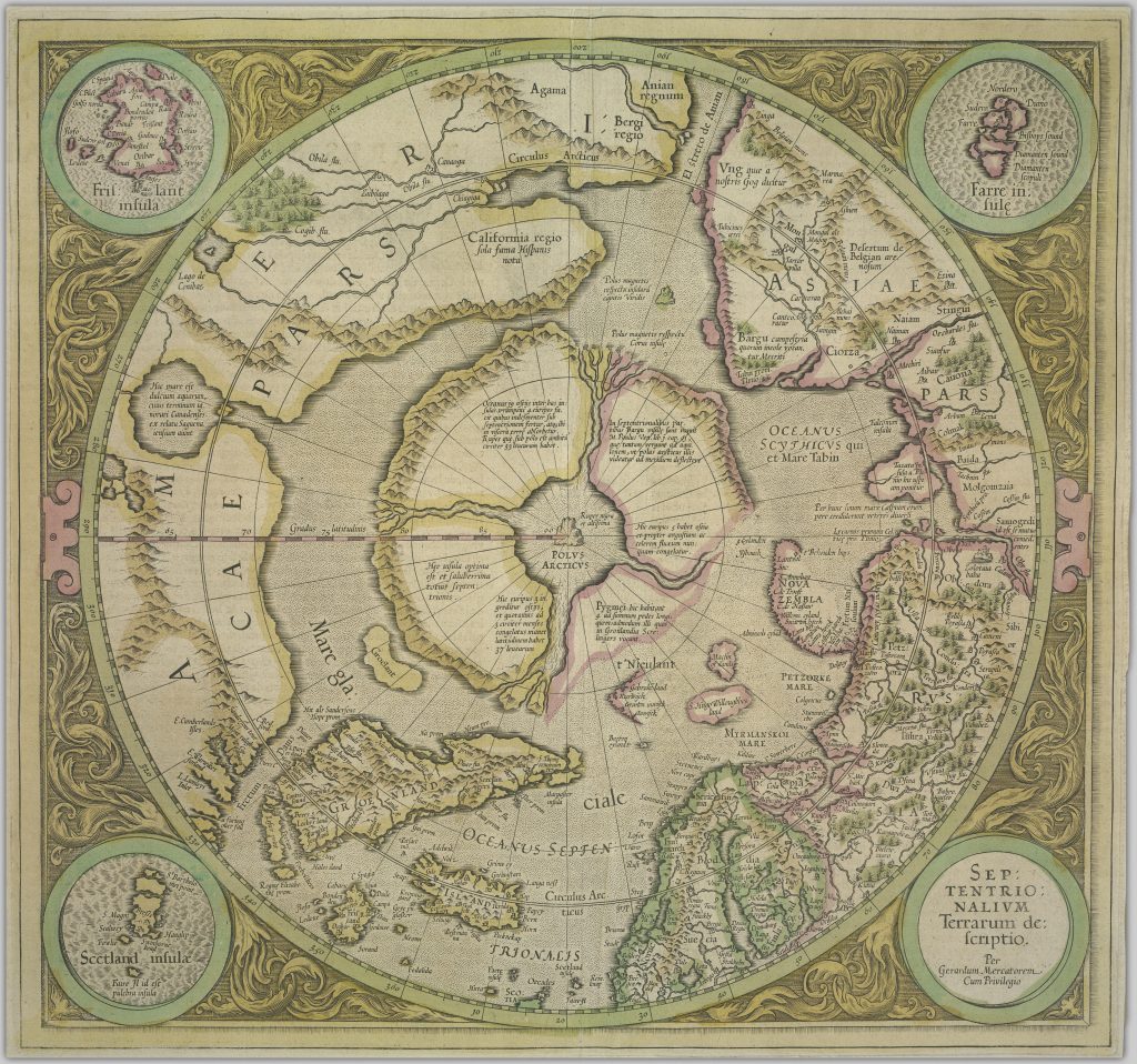
1595: Septentrionalium terrarum descriptio per gerardum mercatorem
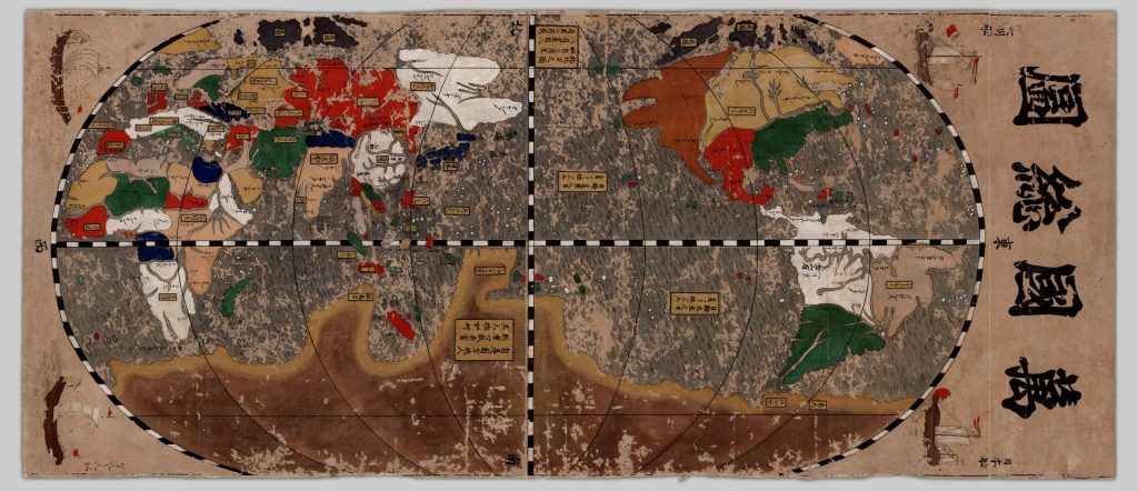
1600: Bankoku sōzu
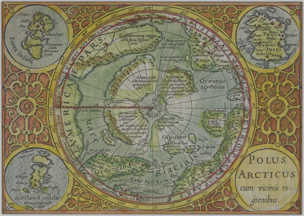
1610: Polus Arcticus cum vicinis regionibus
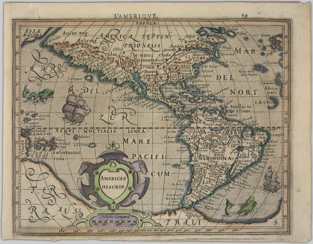
1646: Americae descrip
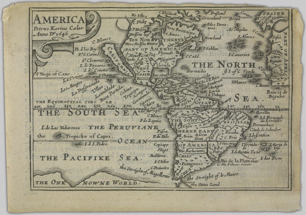
1646: America Petrus Kaerius Coelav, Anno do 1646
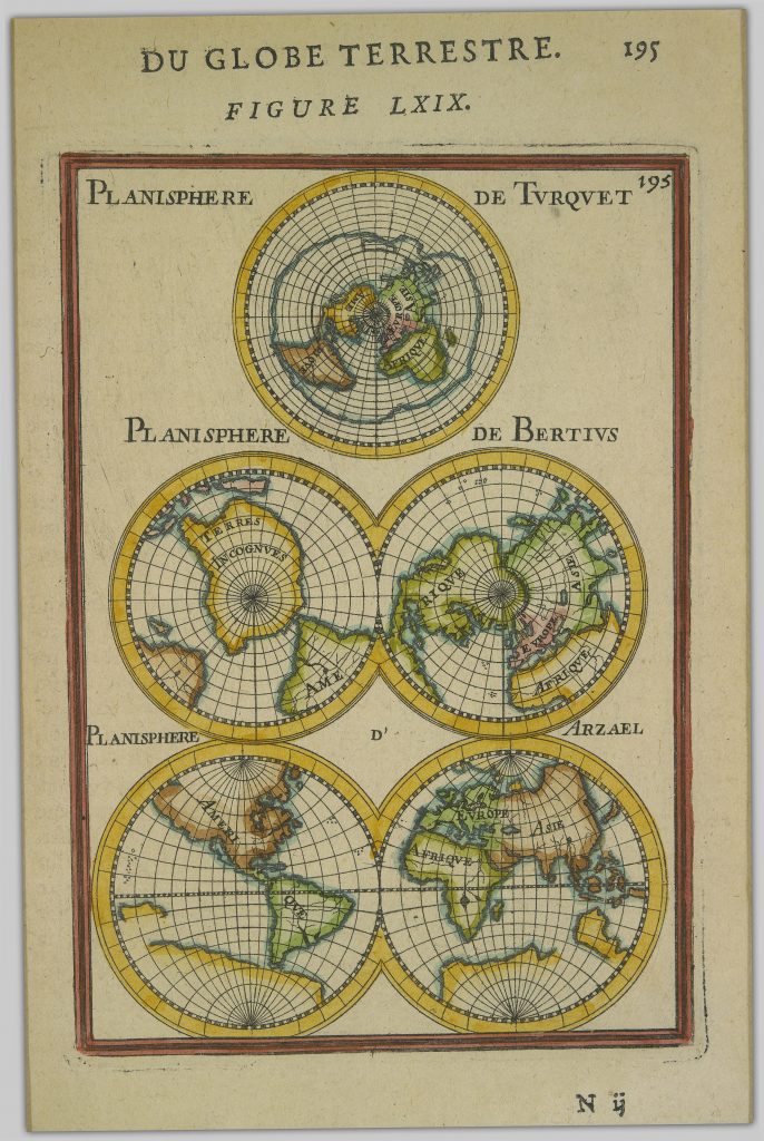
~1683: Du globe terrestre, Figure LXIX
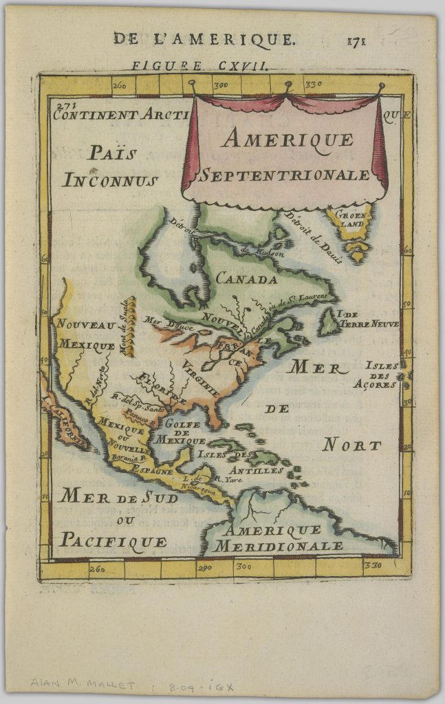
~1683: De l’Amerique. Figure CXVII. Amerique Septentrionale
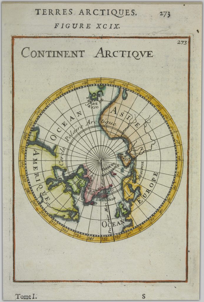
~1683: Terres Arctiques, Figure xcix, Continent Arctique
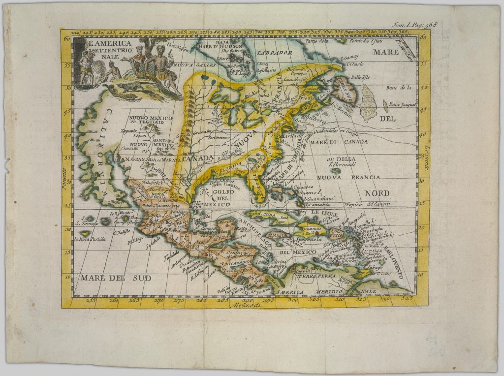
~1690: L’America settentrionale
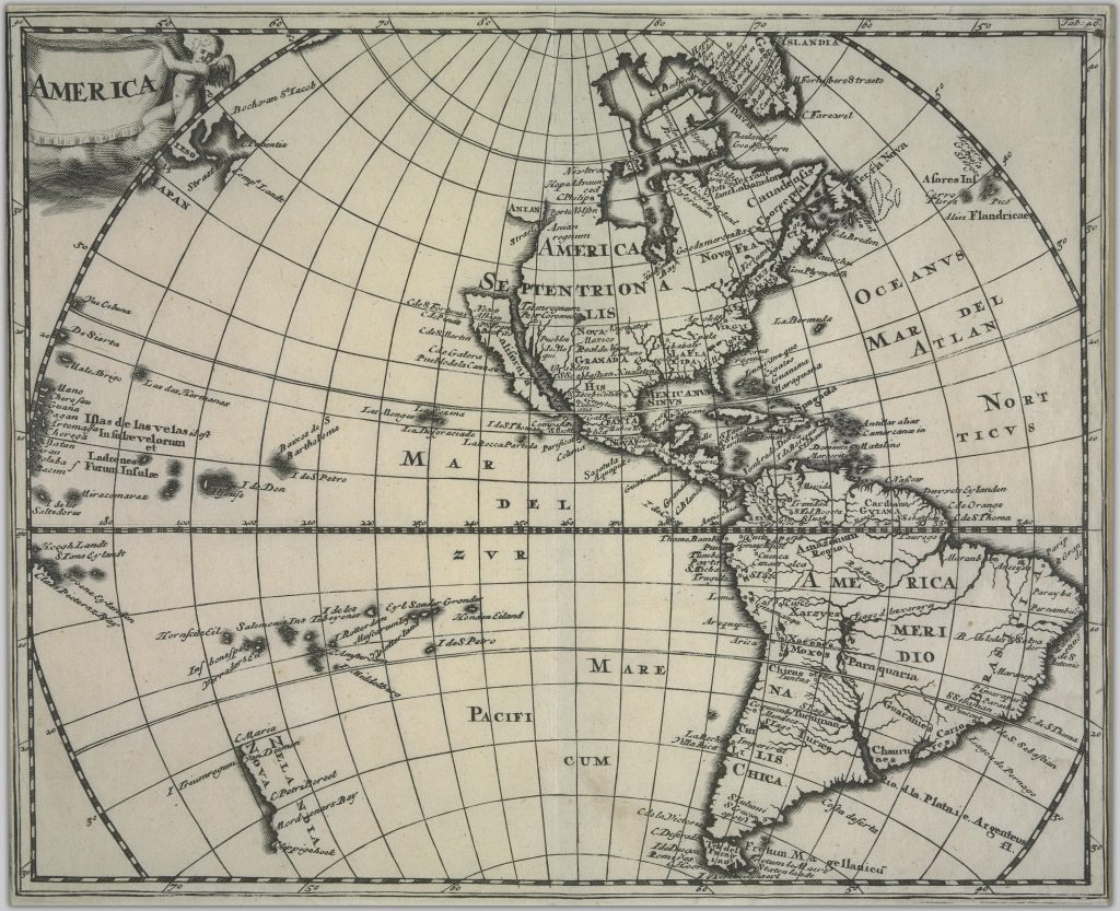
~1697: America
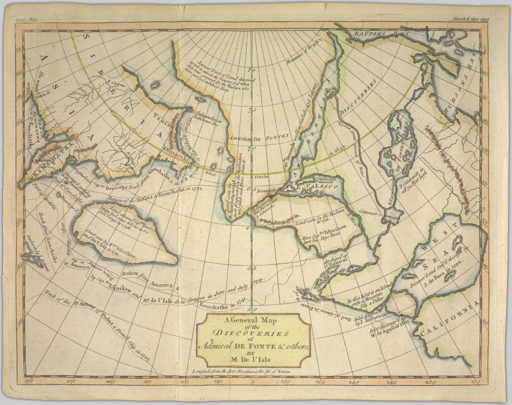
1688-1768: A general map of the discoveries of Admiral de Fonte and others
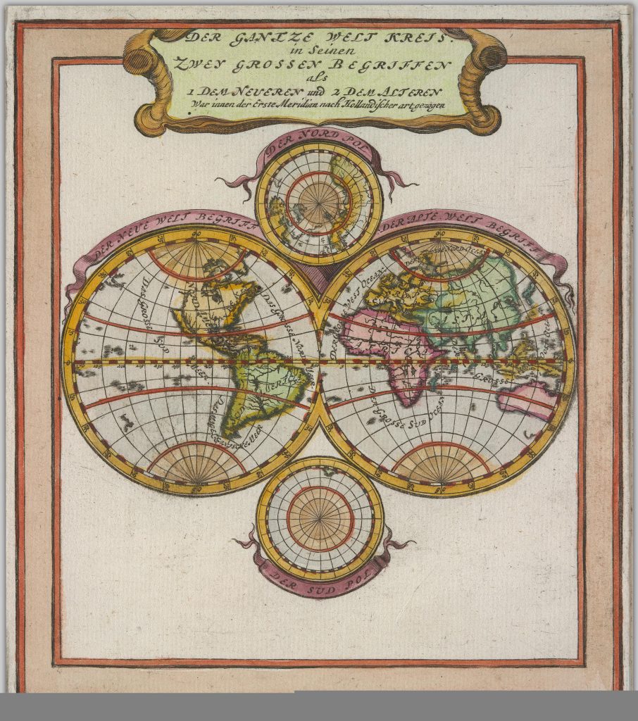
1665-1714: Der gantze Welt Kreis in seinen zwey grossen Begriffen als 1 dem Neueren und 2 dem Alteren
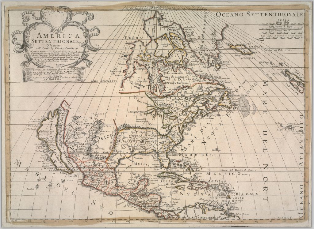
1700: America Settentrionale
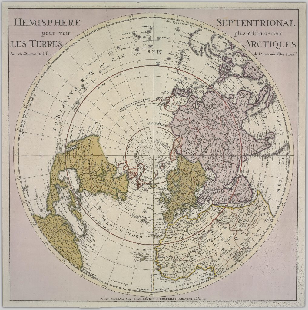
1714: Hemisphere Septentrional pour voir plus distinctement les Terres Arctiques
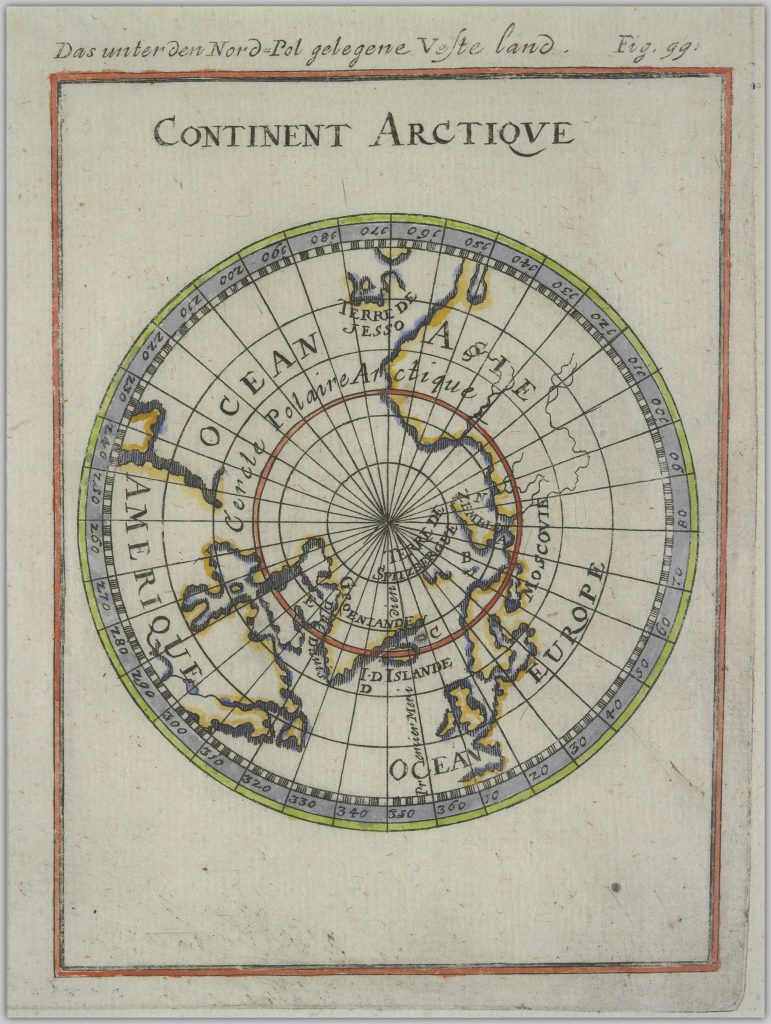
1719: Continent Arctique
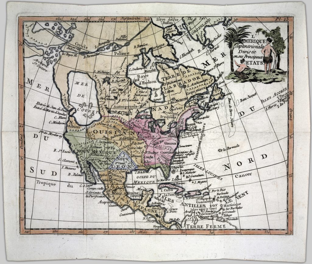
1717-1779: L’Amerique Septentrionale divisée en ses principaux etats
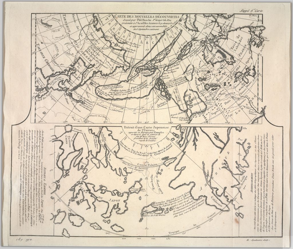
1723-1786: Carte des nouvelles découvertes, Extrait d’une carte japonoise de l’univers
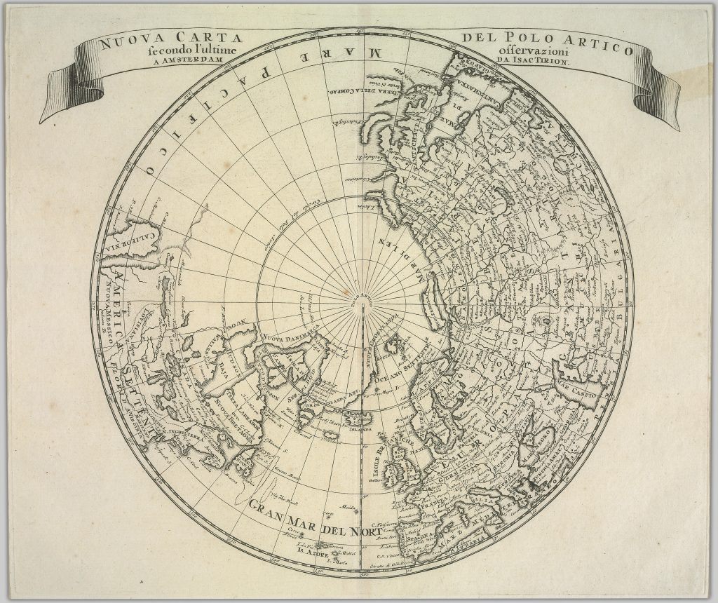
1723-1786: Carte des parties nord et ouest de l’Amérique dressée d’apres les relations les plus authentiques
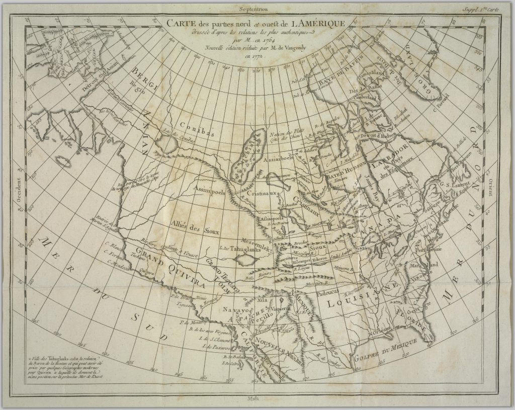
Before 1732: America
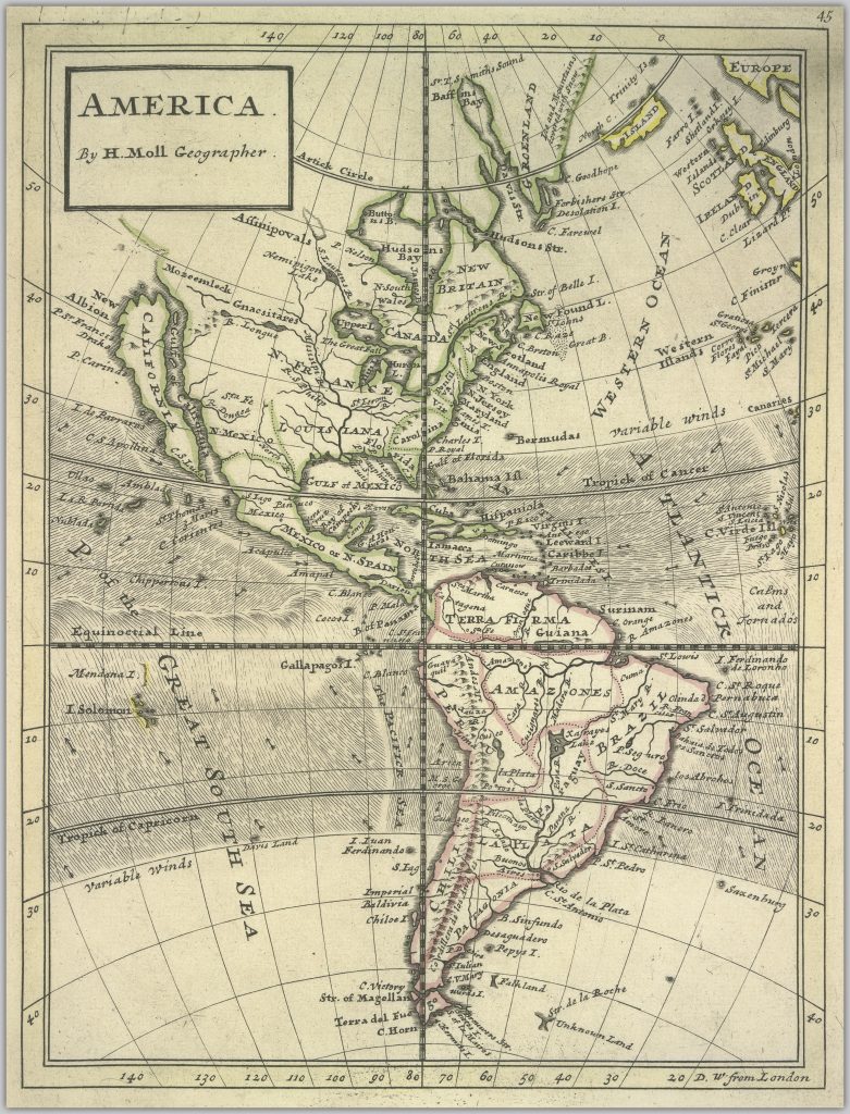
~1739: The colonies of the Europeans in America
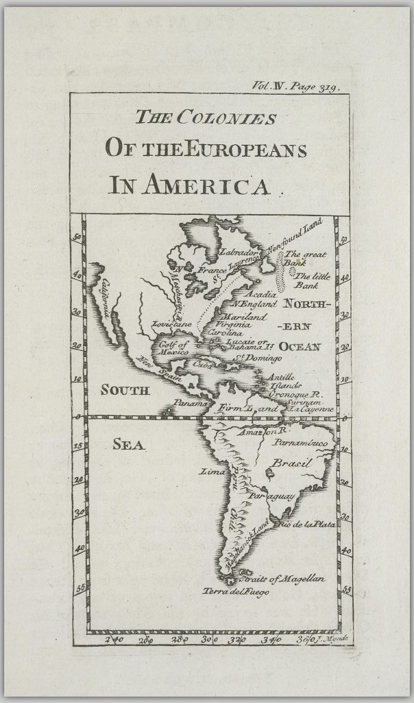
~1740: Nuova carta del polo Artico secondo l’ultime osservazioni a Amsterdam da Isac Tirion
1759: A map of the whole world
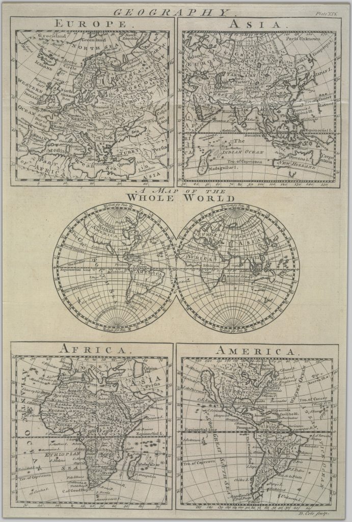
~1759: America
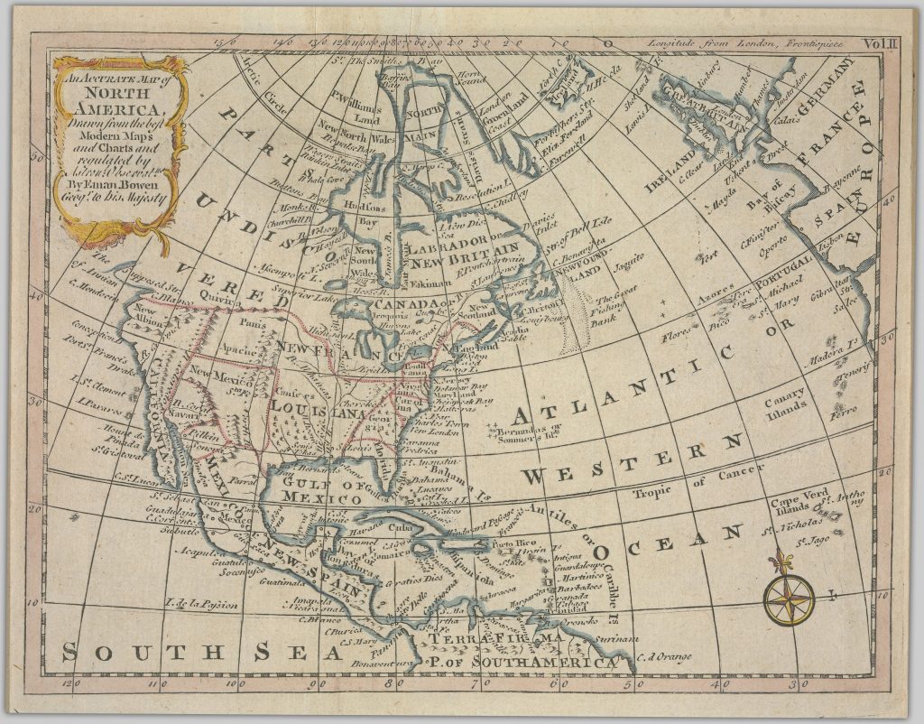
Before: 1767: An accurate map of North America, drawn from the best modern maps and charts and regulated by Aston’l Observat’ns
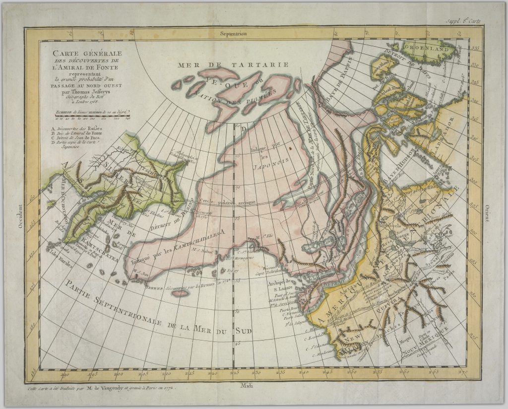
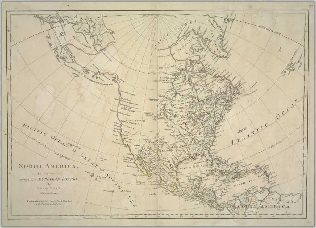
1774: North America as divided amongst the European powers
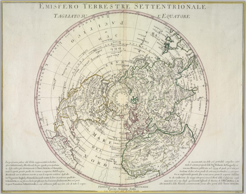
1779: Emisfero terrestre settentrionale
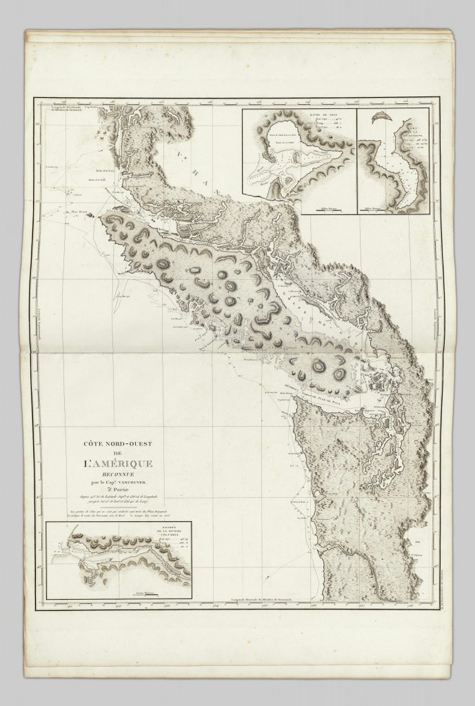
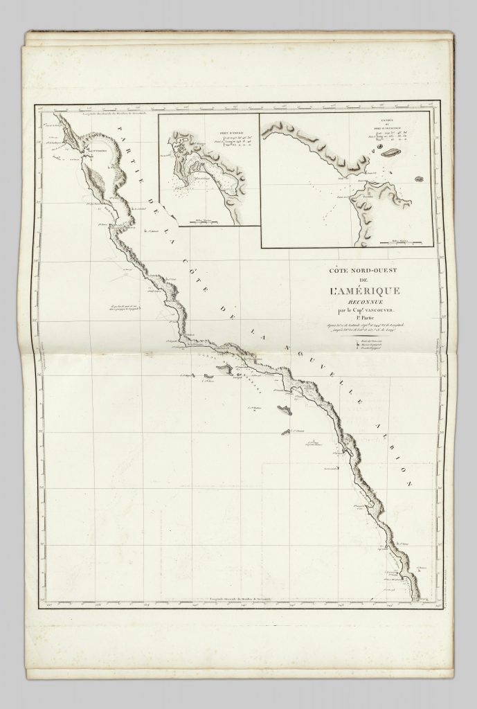
1799: Atlas du voyage de Vancouver by George Vancouver
1804: Teisei zōyaku Sairan igen gotairikuzu
Thank you for reading!


