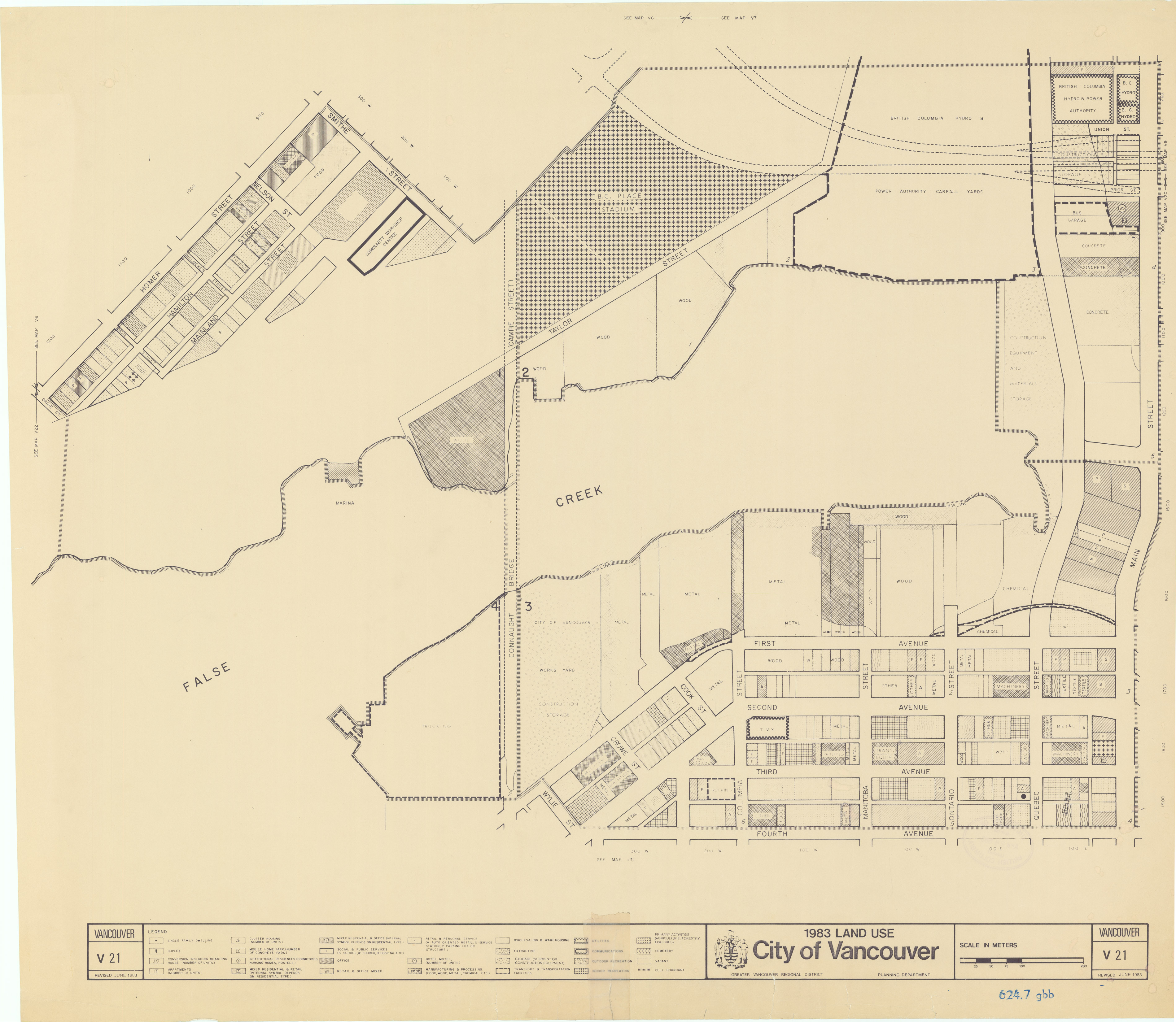
1983 planning map for the False Creek area of Vancouver, British Columbia, Canada
Metro Vancouver (previously the Great Vancouver Regional District), the regional political and corporate body representing 24 Lower Mainland authorities, has granted permission to the UBC Library to digitized a series of planing department land use maps. There are four series: 1965, 1971, 1980 covering the Lower Mainland and 1983 for the City of Vancouver only. These maps, as shown in the example above, are highly detailed representations of the various uses of land at the aforementioned time points. They are still heavily used by planners, historians, genealogists, attorneys and many others. The maps are being scanned at 600 pixels per inch using a Contex HD5450 wide-format scanner. They will then be edited, metadata created and uploaded in to our digital content management system. The maps are expected to be made available to the public in the first quarter of 2014.